Introduction
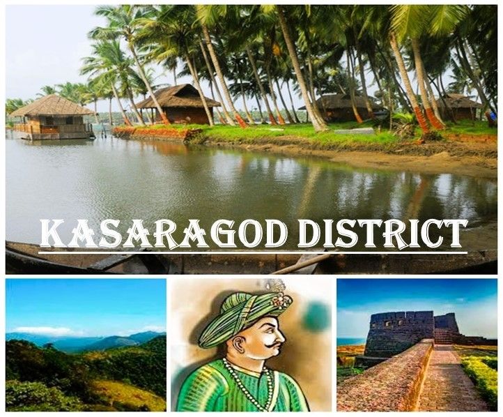
Kasaragod, Kerala’s northernmost district, has a unique administrative history and structure. Initially part of South Kanara district in the Madras State, it Became Part of Kerala after the reorganization of states in 1956. Over time, Kasaragod evolved into a separate district, officially formed on 24 May 1984, with Kasaragod town as its headquarters. The creation of the district was a long-cherished demand of the people, aimed at ensuring focused development of this backward region.
Historical Evolution of Administration
- Pre-1956: Kasaragod was under South Kanara district of Madras State.
- 1956: With the reorganization of states, Kasaragod taluk was merged into the Malabar district of Kerala.
- 1957: The region became part of the newly formed Cannanore (now Kannur) district. Kasaragod taluk was bifurcated into Kasaragod and Hosdurg taluks.
- 1984: Kasaragod was declared Kerala’s 14th district, comprising Kasaragod and Hosdurg taluks.
This administrative restructuring allowed better governance and development of both the coastal and hilly tracts of the district.
Revenue Administration
For revenue purposes, Kasaragod is divided into:
- Two taluks: Kasaragod and Hosdurg
- Five firkas
- 75 villages
The only revenue division is located at Kanhangad, while the Collectorate functions at Vidyanagar in Chengala Panchayat, about 5 km from Kasaragod town.
The Collectorate handles diverse responsibilities, including:
- Revenue establishment and recovery
- Law and order, Arms Act, and Explosives Act
- Land assignment, acquisition, and tribunals
- Election management
- Housing schemes and natural calamity relief
- Freedom fighters’ pensions and welfare programs
- Survey, audit, and inspection activities
This wide range of functions ensures smooth governance and effective implementation of state and central policies.
Panchayat System
Local governance in Kasaragod follows the Panchayati Raj system.
- District Panchayat: 15 constituencies, with elections held in two phases.
- Block Panchayats: Four in total—Manjeshwar, Kasaragod, Kanhangad, and Nileshwar.
- Gram Panchayats: 39 across the district.
- Municipalities: Two—Kasaragod and Kanhangad.
This decentralized structure empowers rural communities and ensures grassroots participation in governance.
Transport Facilities
Efficient transport connectivity supports administration and development.
Railways
- Total railway line length: 116 km
- 12 railway stations across the district
- Kasaragod and Kanhangad stations serve as major hubs.
- The Konkan Railway connects Kasaragod to Mumbai, New Delhi, Pune, Goa, Karwar, Mangalore, and other cities.
- Over 15 express trains and several passenger trains pass through the district daily.
Airways
- Nearest airport: Mangalore International Airport (50 km from Kasaragod town).
- Secondary option: Kozhikode Airport (250 km away).
Roadways
- National highways: 86 km
- State highways: 29 km
- Major district roads: 90 km
- Other district roads: 358 km
- Village roads: 492 km
This extensive road network ensures connectivity between coastal villages, hilly tracts, and neighboring districts.
Conclusion
The Administration of Kasaragod District reflects a blend of historical evolution, structured governance, and modern connectivity. From its roots in South Kanara to its establishment as Kerala’s 14th district, Kasaragod has developed a robust administrative framework. With its Collectorate, Panchayat system, and strong transport links, the district is well-positioned to address local needs and promote balanced development.